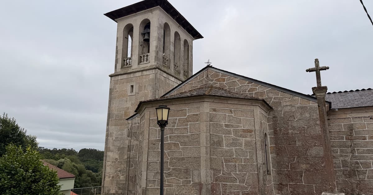
Palas de Rei sits in the province of Lugo, in Galicia, on the high ground that separates the Lugo and A Coruna provinces. The Camino enters the town from the east and runs through the heart of the old centre. Palas de Rei is the traditional end of stage 30 for modern pilgrims and was the end of stage 12 in the medieval Codex Calixtinus.
The town's name comes from the Latin Pallatium Regis, meaning Royal Palace, a reference to a palace that the Visigothic king Witiza is said to have held here in the early 8th century, just before the Moorish invasion of 711. Witiza was the last effective Visigothic king before the Muslim conquest of the Iberian Peninsula, and the location of his palace at Palas de Rei reflects the long pre-Christian importance of this hill country in the Galician interior. The Iglesia de San Tirso, with Romanesque origins, anchors the old town. A number of small Romanesque parish churches in the surrounding villages testify to the medieval density of religious settlement here. Palas de Rei was named as the end of one of the main pilgrim stages in the 12th-century Codex Calixtinus, the pilgrim guidebook that codified the route, and has been a major Camino stop continuously since.
Palas de Rei has the full range of services. There are albergues including the municipal Albergue de Peregrinos and private albergues, hotels, hostales, restaurants, cafes, bars, supermarkets, a pharmacy, ATMs, and bus connections. The town hosts an annual fair that draws producers from the surrounding region.