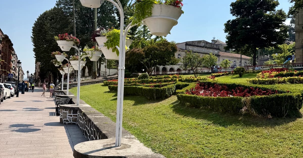
The symbolic heart of Basque identity, tragically bombed in 1937 during the Spanish Civil War and immortalised by Picasso's famous painting. Home to the ancient Oak of Gernika and the Basque assembly house.
Gernika is the symbolic heart of Basque identity. The town was tragically bombed by German and Italian aircraft in 1937 during the Spanish Civil War, an event immortalised in Picasso's famous painting.
The town has rebuilt itself as a vibrant centre of Basque culture. The ancient Oak of Gernika, under which Basque leaders traditionally met, and the Assembly House (Casa de Juntas) are the most significant sites. The Peace Museum tells the story of the bombing and its aftermath.
Pilgrims will find albergues, hotels, restaurants, supermarkets, ATMs, pharmacies, and a train station. The Monday market is one of the oldest and most important in the Basque Country.
Every kind of bed in one place: online booking, direct-contact albergues, walk-ins and donativos. Live prices for your night.
The Camino through town, with prices where the beds are. Amber is the route; each pin is a place to stay.
Our Koala Picks first, then donativos, albergues and hostels, hotels, and everything else. Within each group the best-reviewed places lead.
Loading places to stay…
