
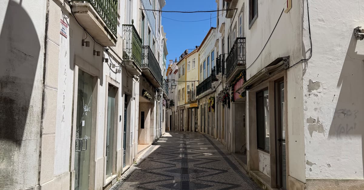
Stage 3 · Camino Portugués Central
Azambuja → Santarém
About this stage
Azambuja to Santarém · 32.5 km · up 180 m, down 90 m
One of the longest stages on the Central route, this day crosses the vast Ribatejo plains before a dramatic climb into the hilltop city of Santarem. The flat agricultural walking dominates the first two-thirds of the stage, passing through Cartaxo (a good midway rest point with cafes and shops) before the landscape begins to rise.
The final approach to Santarem involves a steep ascent up cobblestone streets into the old town, perched on a bluff overlooking the Tagus. After hours of flat terrain, this climb catches many pilgrims off guard. The reward is arriving in one of Portugal's most historically significant cities, with a stunning viewpoint (Portas do Sol) over the river valley.
Santarem offers excellent services including multiple accommodation options, restaurants serving regional cuisine, a hospital, and pharmacies. The old town is worth exploring, with its Gothic churches and medieval streetscape.
Terrain: Flat agricultural roads, dirt paths, steep cobblestone climb into Santarem
The day, stop by stop
- 0km
Azambuja
townA small Ribatejo town with a municipal albergue, one of the first dedicated pilgrim accommodations on the route from Lisbon. Set in flat agricultural countryside along the Tagus valley.
View town guideRestaurantCafeGroceryWaterPharmacyATMBusTrainClinicPost Office - 10.6km
Reguengo
hamletReguengo is a small agricultural hamlet on the banks of the Tagus River. Walkers on the Caminho Português pass directly through its flat, fertile floodplains, an area of the Ribatejo region defined by centuries of traditional riverside farming.
View town guideCafeWater - 13.2km
Valada
villageLocated on the right bank of the Tejo River, this quiet farming village is surrounded by vineyards and melon fields. Hikers and pilgrims often use its sandy river beach and small marina to rest before continuing across the flat Ribatejo plains.
View town guideRestaurantCafeGroceryWaterATM - 16.9km
Porto de Muge
hamletSituated by the Tagus River, this quiet hamlet is defined by the Rainha Dona Amélia bridge. Inaugurated in 1904 as a railway crossing, the long iron structure now provides foot travelers with a historic, scenic path across the water.
View town guideCafeWater - 32.5km
Santarém
cityThe historic capital of the Ribatejo region, set on a high bluff above the Tagus River. Known as the 'Gothic Capital' of Portugal for its wealth of medieval churches and the well-preserved Castle of Santarem.
View town guideRestaurantCafeGroceryWaterPharmacyATMBusTrainClinicPost Office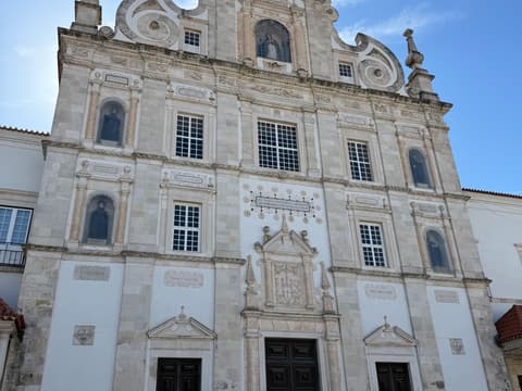
Places to stay along this stage
Koala Picks first, then each town in walking order. Where a place does not book online, walk in, call or message them.
Loading places to stay…
Planning the Camino Portugués Central?
Add this stage to your day by day plan and see how it fits with the stages around it. Day 0 is the night you arrive in Azambuja. Choosing is never booking.