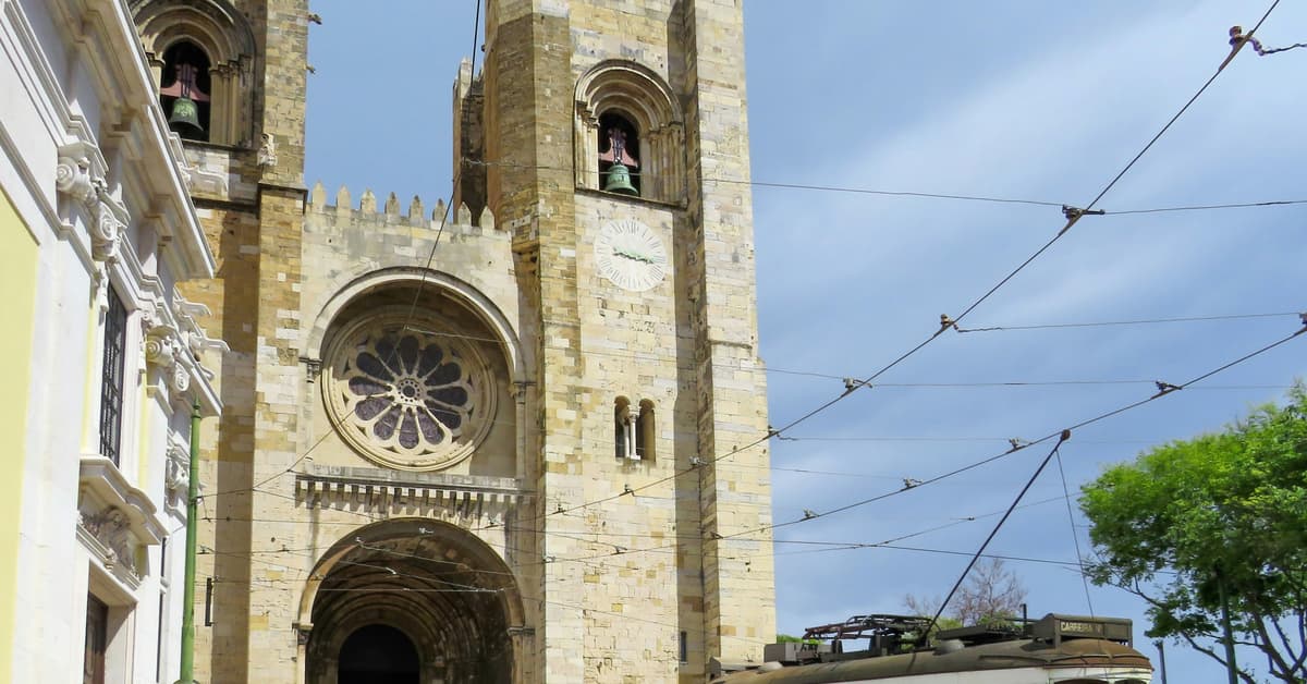
Stage 1 · Camino Portugués Central
Lisbon to Vila Franca de Xira · 50 km · up 450 m, down 510 m
The walk out of Lisbon begins at the cathedral (Sé de Lisboa) and follows the Tagus River estuary northeast through a mix of urban neighbourhoods and riverside promenades. After passing through Sacavém and crossing the Trancão River, the route leaves the city behind and settles into the flat plains of the Ribatejo, continuing through Alpriate, Alverca, and Alhandra before reaching Vila Franca de Xira, a town known for its bull-running traditions and strong connection to Portuguese rural culture.
This is a long opening day and a gradual farewell to the capital. The initial city section requires attention to waymarks through built-up areas and can feel slow due to traffic lights and pedestrian crossings. Once clear of Lisbon, the walking is mostly flat and straightforward, with long stretches along the riverbank offering open views across the estuary. Industrial zones mix with quieter residential areas, and the final approach into Vila Franca de Xira follows pleasant tree-lined paths.
Services are limited through Alpriate and the smaller towns along the way, so carry enough water and food for the riverside sections. Vila Franca de Xira makes a comfortable overnight stop, with supermarkets, restaurants, pharmacies, and reliable accommodation all within walking distance of the route.
Terrain: Urban roads, riverside paths, some cobblestone, short dirt trail sections
Portugal's capital and the traditional starting point of the full Camino Portugues. Pilgrims begin at the Church of Santiago in the Alfama district, collecting their credencial at the nearby Se Cathedral.
View town guide
The site of Expo 98, now a modern riverside district of Lisbon with striking contemporary architecture and the Vasco da Gama Bridge.
View town guide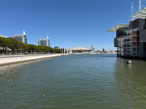
The Parque Das Naçoes stretch of riverfront was once filled with docks, oil tanks, and heavy industry. Expo ’98 completely reshaped it into today’s Parque das Nações, one of Lisbon’s most modern waterfront districts.
Tagus Estuary Corridor: the Camino loosely follows the river east out of Lisbon. In quieter stretches, the urban edge opens briefly onto tidal flats and reed beds of the Tagus estuary, a major migratory bird route.
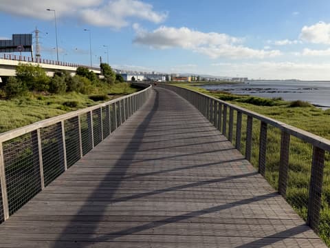
Santa Iria de Azoia is a small town on the outskirts of Lisbon, sitting about 1.5 km off the Camino route as pilgrims make their way out of the city.
View town guideAlverca do Ribatejo is an industrial town on the banks of the Tagus River, historically significant as the site of one of Portugal's first military airfields, established in the early 20th century.
View town guideA riverside town on the Tagus with a pleasant riverwalk and views across the estuary. Known for its proximity to the Ribatejo bullfighting tradition.
View town guide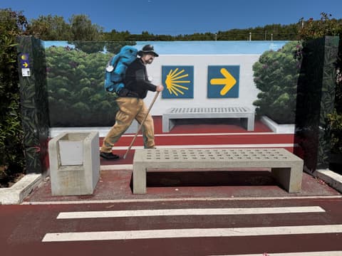
Located on the Tagus River, Vila Franca de Xira is the gateway to the Ribatejo region. The city is known for its equestrian heritage and campinos, Portugal's traditional cowboys. A scenic riverside path gives walkers a peaceful place to rest.
View town guide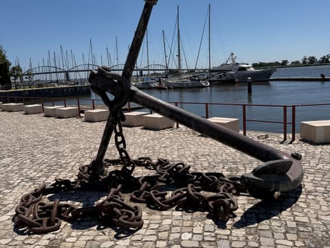
Koala Picks first, then each town in walking order. Where a place does not book online, walk in, call or message them.
Loading places to stay…
Add this stage to your day by day plan and see how it fits with the stages around it. Day 0 is the night you arrive in Lisbon. Choosing is never booking.
