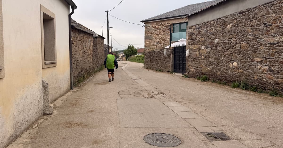
Ligonde is a small Galician hamlet in Lugo with the historic Lameiros pilgrim cemetery on the edge of the village, where medieval pilgrims who died on the route were buried. Has albergues and a bar-restaurant. No shop, pharmacy, or ATM.
Ligonde sits in the province of Lugo, in Galicia, on the Camino in the high ground east of Palas de Rei. The Camino runs through the hamlet.
Ligonde was an important Camino stop in medieval times, with a pilgrim hospital and a sizeable cemetery for pilgrims who died on the route. The Lameiros pilgrim cemetery, on the edge of the village, was used for medieval pilgrim burials, particularly during the recurring plagues that swept Galicia in the 14th and later centuries. The parish church anchors the village. Ligonde appears in pilgrim guides from as early as the 12th century, including the medieval Codex Calixtinus.
Services in Ligonde are useful for the Camino. There are albergues including the parish-style Albergue Lameiros, and a bar-restaurant. There is no shop, no pharmacy, and no ATM.
The Camino through town, with prices where the beds are. Amber is the route; each pin is a place to stay.
Our Koala Picks first, then donativos, albergues and hostels, hotels, and everything else. Within each group the best-reviewed places lead.
Loading places to stay…
