
Le Puy-en-Velay to Saint Jean Pied de Port
Full French route. Volcanic Auvergne, the Aubrac plateau, Conques abbey, Pyrenean foothills. French food and wine throughout.
Walking the Le Chemin du Puy from Le Puy-en-Velay
From Le Puy-en-Velay it is 751 km to Saint Jean Pied de Port along the Le Chemin du Puy, walked here in 29 stages at an average of 26 km a day. Most pilgrims arrive the afternoon before, sleep in Le Puy-en-Velay and set off early on day one, so plan for 30 days plus any rest days you want.
Day one goes from Le Puy-en-Velay to Saint-Privat-d'Allier, 23.5 km with 670 m of climbing. The last day into Saint Jean Pied de Port starts in Ostabat-Asme, 22 km. The longest stage is Limogne-en-Quercy to Cahors at 39.5 km, and the biggest climb is 860 m on the way to Saint-Alban-sur-Limagnole.
The walk passes through 4 regions: 🌋 Haute-Loire / Velay (4 stages), 🐄 Aubrac Plateau (15 stages), 🍇 Gascony / Gers (4 stages), and 🏔️ Béarn / Basque Country (6 stages).
The walk from Le Puy-en-Velay in weeks
Each block on the strip is one stage, sized by distance. The cards below group the stages into weeks, with the climb and the time each day takes. Flip a card for that week on the map.
751 km of ups and downs
Move along the profile to read the height at any point.
Fewer days, or more?
Pick a start further along for a shorter walk, or earlier for the whole road.
Turn this route into your plan, night by night.
Reading about the Le Chemin du Puy is the easy part. Build my Camino gives you a day by day plan with a bed to book for each night, so the only thing left is to walk it.
- Pick a start and a dateAny of the 3 starting points, or any town on the route. Day 0 is the night you arrive.
- Shape your daysShorten a long stage, add a rest day or split a hard climb in two. The plan redraws as you go.
- Book a bed for each nightLive prices for the dates you chose, in one tap. Walk-in albergues and donativos are marked, so you know where you can simply turn up.
Plan on the web. Walk with Camino Koala in your pocket.
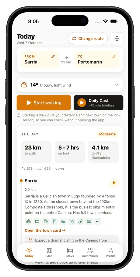
Your saved Camino opens in the app with every town, date and stay exactly as you left it, and keeps working when the signal does not.
Some accommodation links are affiliate links. If you book through these links, we earn a small commission at no extra cost to you.